Coordinates
GD: 39.911667 -8.130556
DMS: 39°54′42.0″N 8°7′50.0″W
UTM: 29S 574311 4418314

- Type: Informal
- Orientation: West
- Angle: SO to NE
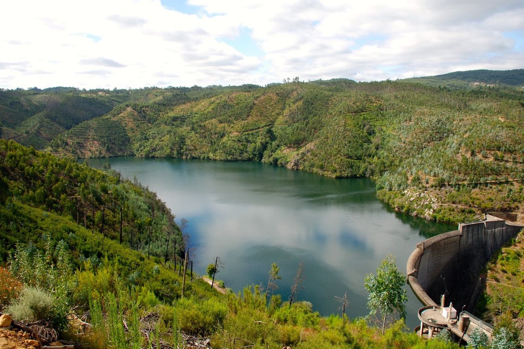
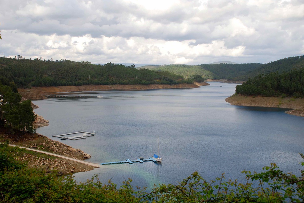
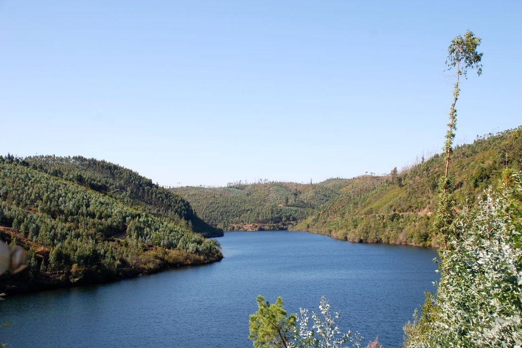
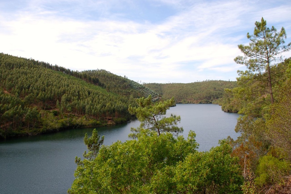
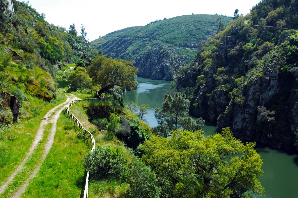
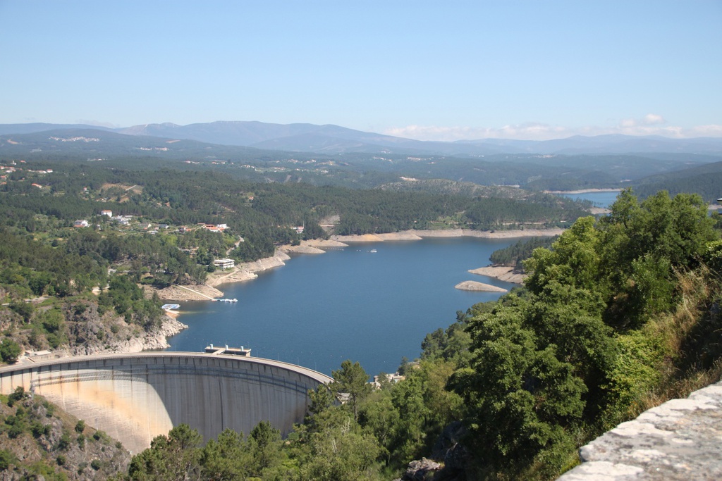
- Landscape reader: In front of us, below, the slope of the right bank of the Zêzere valley, called Cabril do Zêzere, crossed by a section of the EN2 to the Cabril Dam, from where we can appreciate an extensive plan of the lake. SO: Chapel of Nossa Senhora dos Milagres | O: Pedrógão Grande (to the left the Clock Tower and to the right the tower of the Mother Church) | NE: Quartzite cliffs next to Ferraria de São João | N: Serra da Lousã (Trevim) | NE: Serra do Açor.
GD: 39.911667 -8.130556
DMS: 39°54′42.0″N 8°7′50.0″W
UTM: 29S 574311 4418314

Miradouro de N.ª Sra.ª da Confiança

Miradouro de N.ª Sra.ª da Confiança
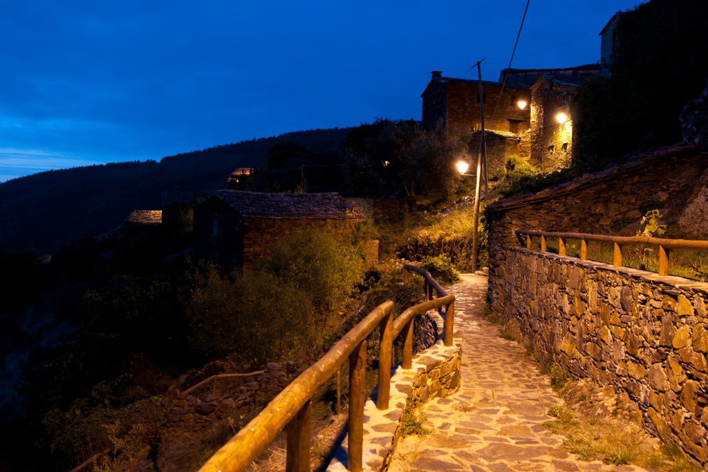
![Under the Sign of Cabril: Vale de Góis Intermodal Station Derivation [GR33 - GRZ]](/media/filer_public/87/95/8795de54-9ced-400a-b112-534ad81cdfa0/aldeias-xisto-aldeias-xisto-sob_o_signo_do_cabril_derivac3a7c3a3o_estac3a7c3a3o_intermodal_de_vale_de_gc3b3is_gr33_-_yvc7drc.jpg.1024x683_q95_crop_upscale.jpg)


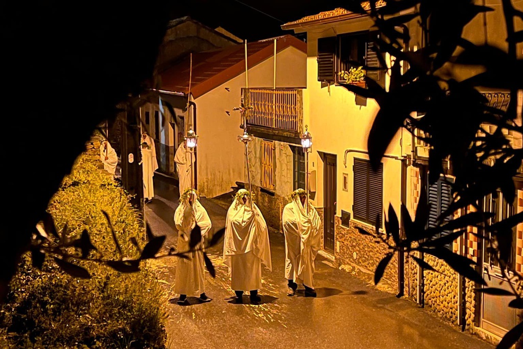
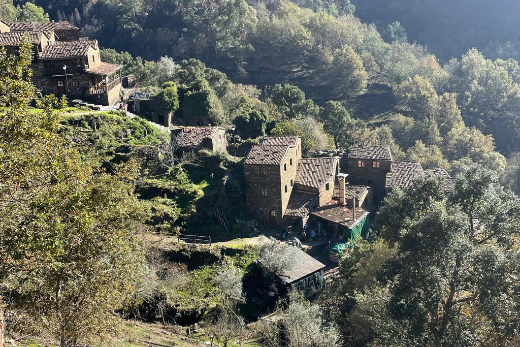
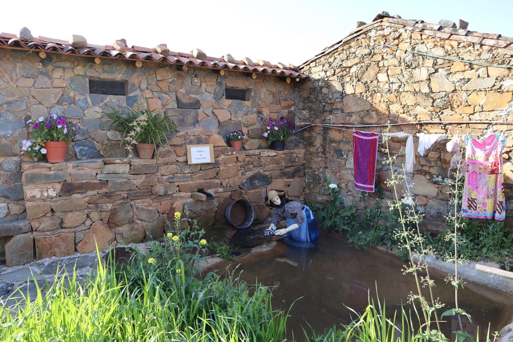
![GRZ on Foot - Just You and the River [sector 6]](/media/filer_public/0e/73/0e731a49-9b32-424d-9556-b40d430cb1fb/aldeias-xisto-aldeias-xisto-moinho_das_freiras_vej2s3h.jpg.1024x683_q95_crop_upscale.jpg)
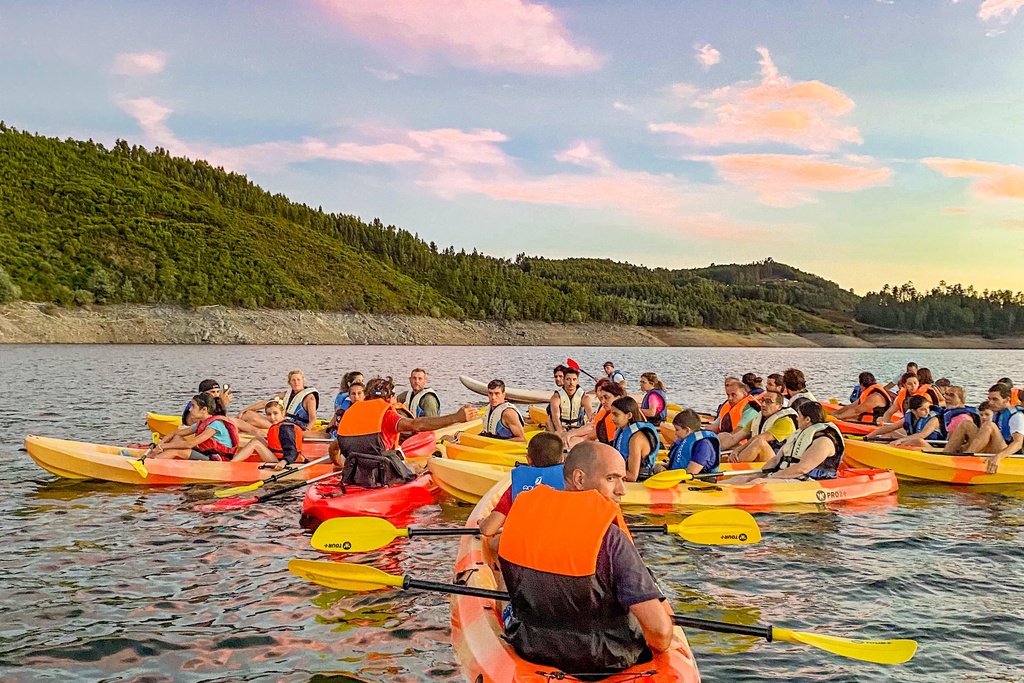
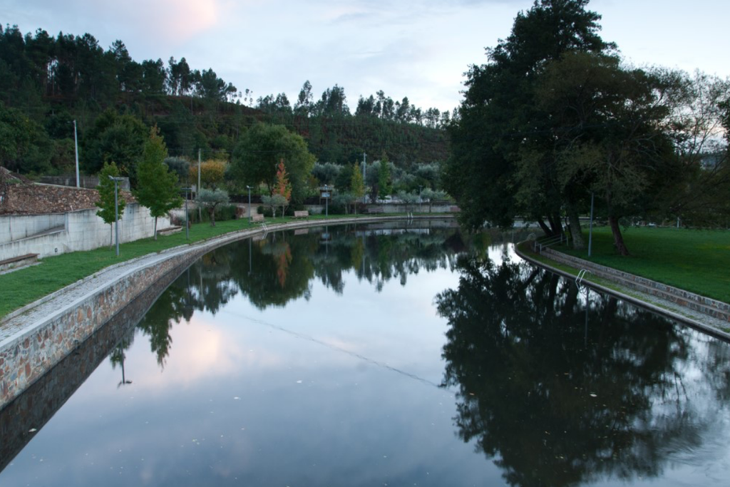
![Just You and the River [GRZ - MTB sector 6]](/media/filer_public/03/86/0386fc25-6355-44d8-ab62-3787246049ef/aldeias-xisto-aldeias-xisto-sc3b3_tu_e_o_rio_ponte_filipina__c381rea_de_descanso_de_cabec3a7o_mourisco_gr33_-__oekv7by.jpg.1024x683_q95_crop_upscale.jpg)


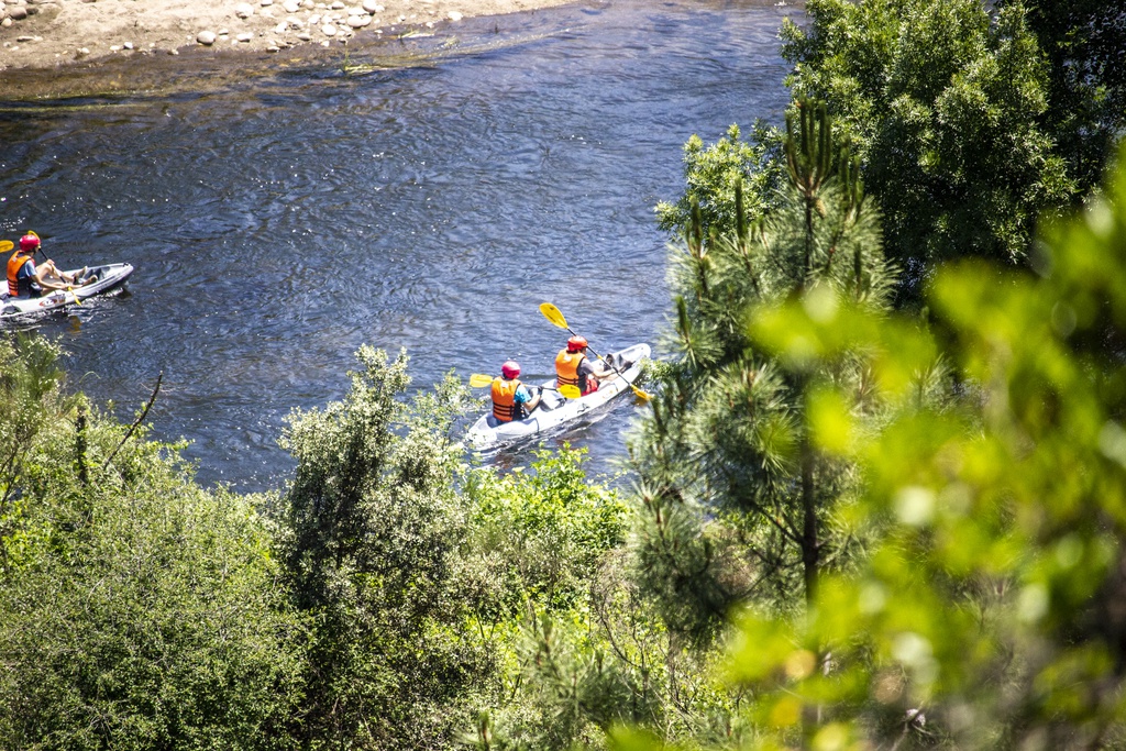
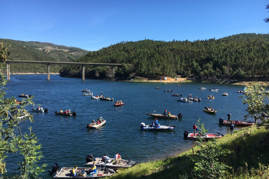
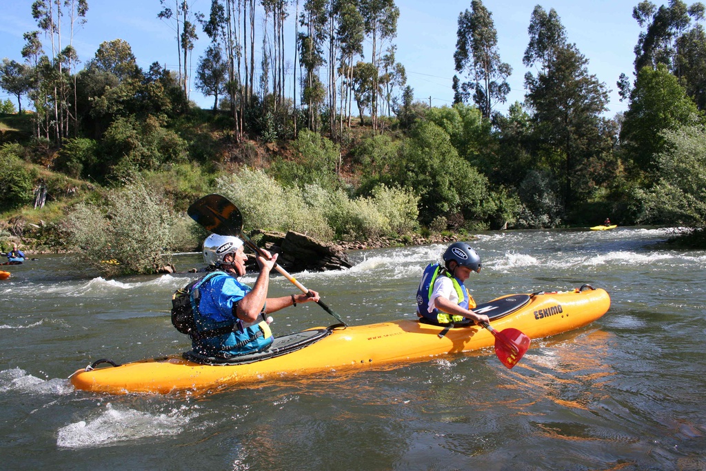
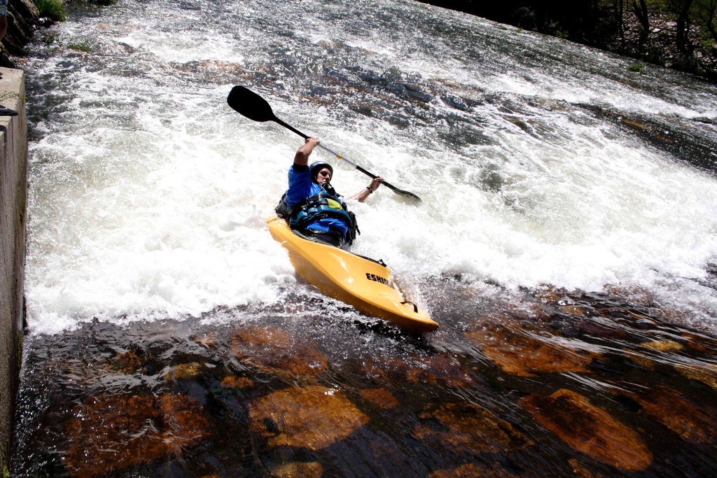
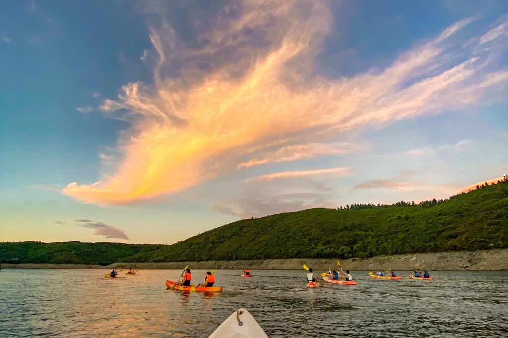
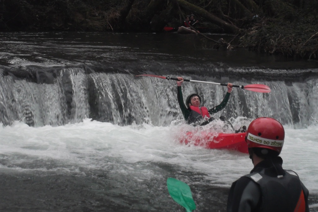
![Just you and the River [GR33 - GRZ: Canoeing]](/media/filer_public/dc/82/dc82cd8b-0405-435d-bd18-661648bac83b/aldeias-xisto-aldeias-xisto-canoagem_na_albufeira_da_bouc3a7c3a3_86chwyz.jpg.1024x683_q95_crop_upscale.jpg)
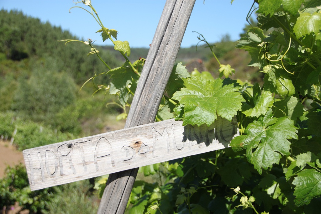
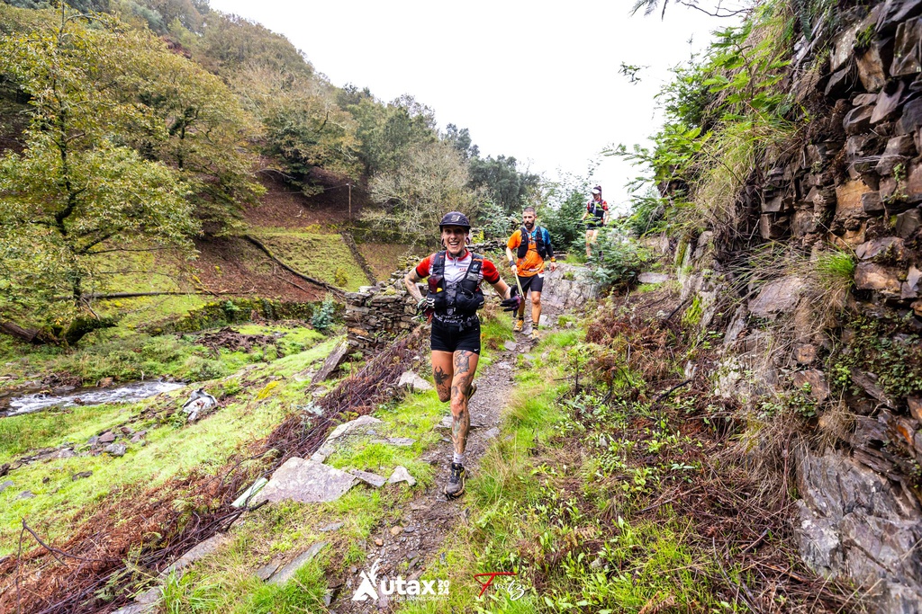
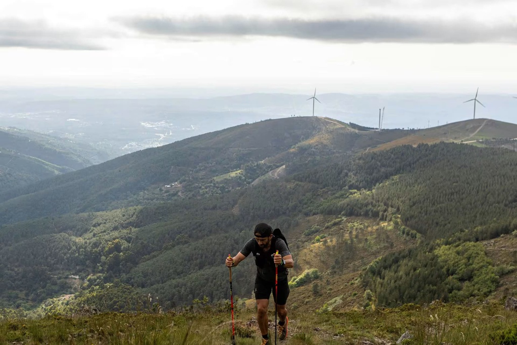
![Under the Sign of Cabril: Madeirã > Arrochela Rest Area [GR33 - GRZ: Stage 7]](/media/filer_public/32/c9/32c91522-c446-4755-ad8e-27ffc73df4b4/aldeias-xisto-aldeias-xisto-sob_o_signo_do_cabril_madeirc3a3__c381rea_de_descanso_da_arrochela_gr33_-_grz_e_u7rx7wd.jpg.1024x683_q95_crop_upscale.jpg)