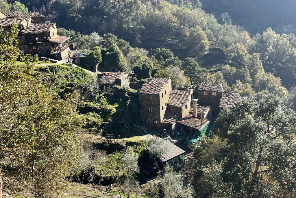
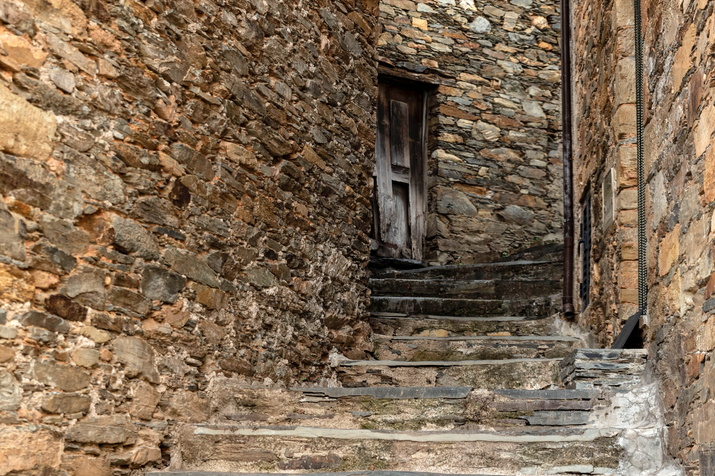
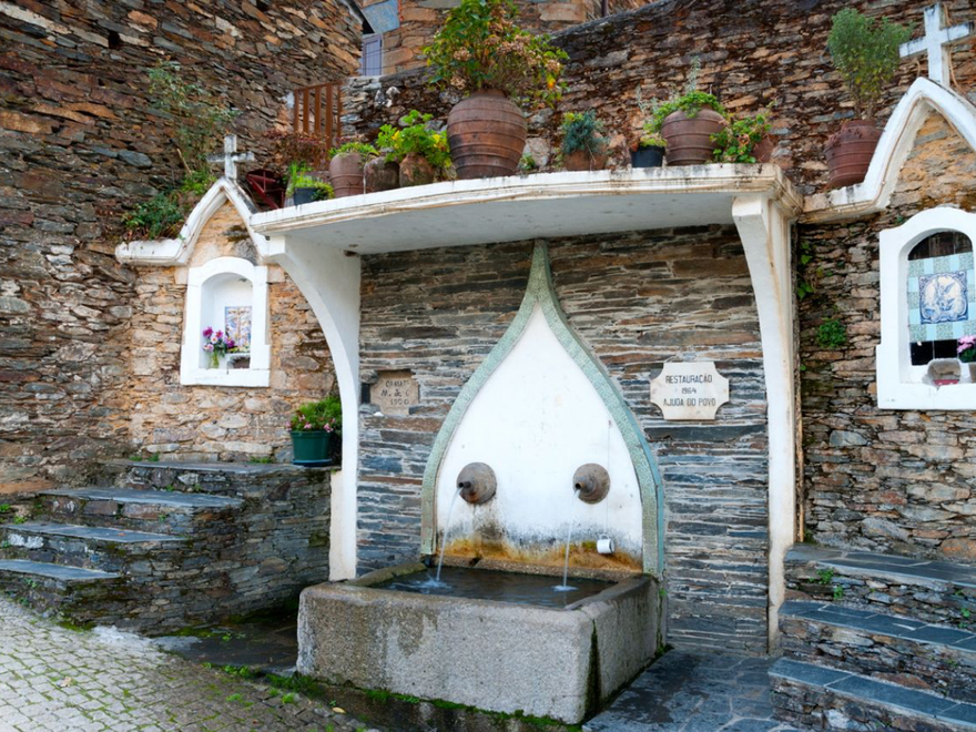
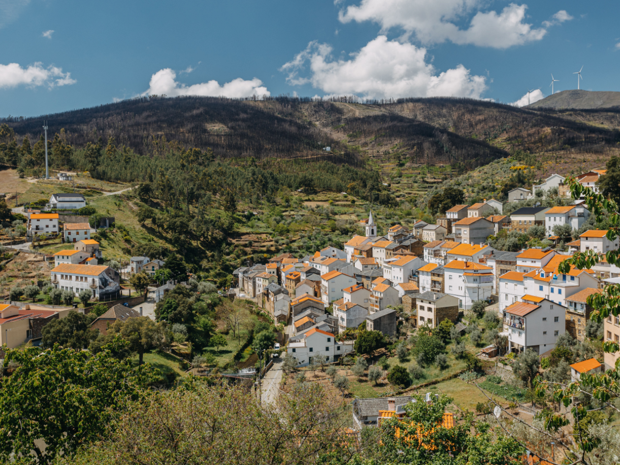
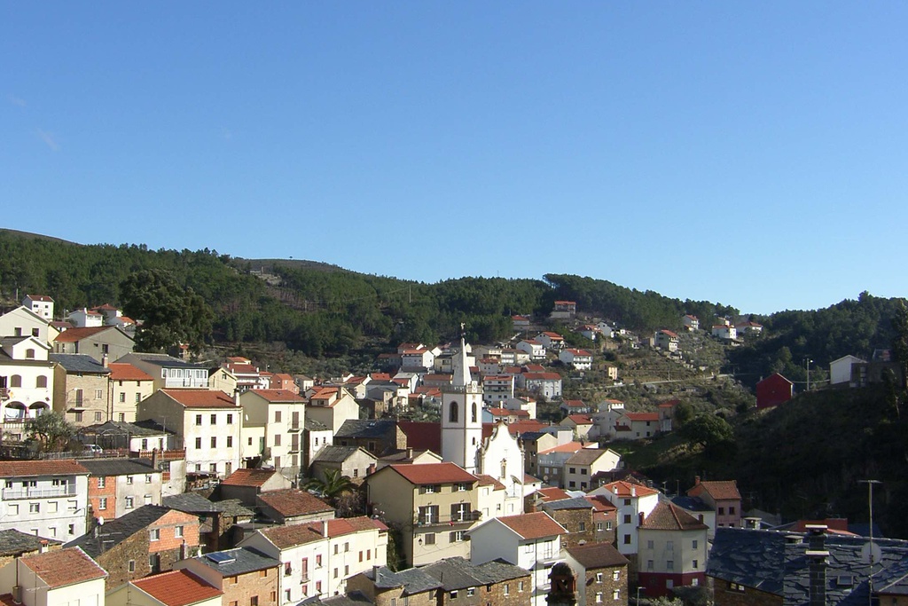
Sobral de S. Miguel is a very old settlement, as borne out by the many traces of rock art. The origins of this village go back to Roman times and it was always associated with the old trade routes. There is evidence of Moorish mines which also indicates an Arab settlement here, reflected in the legends told by the older population. They say here that Sobral used to be populated sporadically by swineherds who came to fatten their herds on the acorns that grew here. Because Sobral was an area crossed regularly by caravans of merchants trading between the coast and the interior of the peninsula, they started to build shelters alongside the few existing houses belonging to the swineherds. The first houses were built along the side of the stream, more or less in front of a chapel in honour of St. Michael (patron saint of the village) which would later be replaced by the Mother church.
In the historical documentation available, the village is mentioned for the first time in a text dated 1284, in the Inquirições (Royal commissions) of King Dinis. In the “Diccionario Chorographico” (1878) – a book describing the physical conformation and features of Portugal - it appears under the name Sobral, lying on the road between Castelo Branco and Arganil. In 1888 the parish became independent of Casegas, adopting the name of “Sobral de Casegas” which was changed to the current name in 1970. In the 1930’s and 40’s the village benefited from the international demand for tungsten which was mined in Panasqueira and many other places in the Serra do Açor.
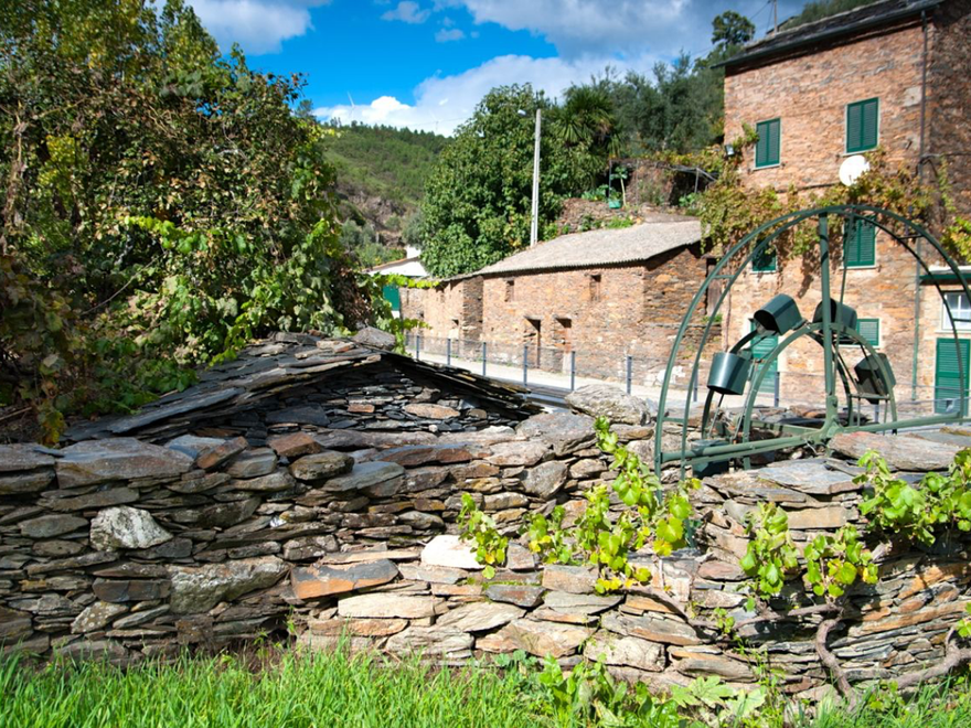
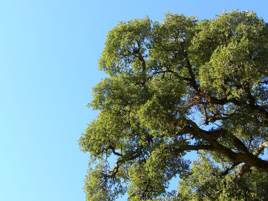
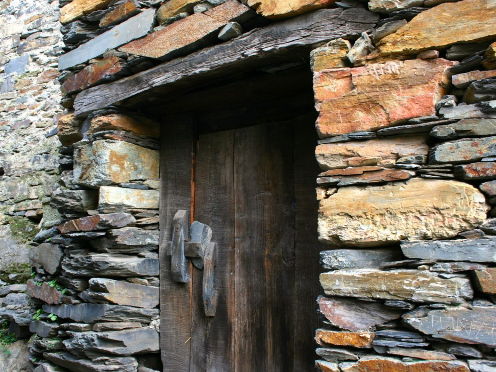
The name "Sobral" derives from the Latin term suberale which means a wood of cork oaks or land where cork oaks grow. Hence, on the site of the village or close by there would have been a large area where cork oaks grew or a number of large cork oaks. Which is still the case.
When the parish became independent of Casegas in 1888, it adopted the name of "Sobral de Casegas". However, in 1970 the village chose to call itself Sobral de São Miguel, in tribute to its patron saint.
Origin of the name
The name "Sobral" derives from the Latin term suberale which means a wood of cork oaks or land where cork oaks grow. Thus, at the time when the village was founded, this tree would have been abundant in the area or there would have been a number of large specimens. Which is still the case.
In the time of the “saltipilha”
It has never been easy living in these mountains and valleys. Opening the older residents’ chest of memories brings tears to their eyes. They unreel for us a black and white film in which they are actors hiking barefoot to Covilhã, with a sack of coal on their heads or backs. Actors in a meal where a single sardine was shared among five brothers. An uncle leaving for some corner of the World, then their father, then their brothers and the days of absence with no homecoming that, in some cases, lasted for the rest of their lives. Or the saltipilha, that flurry of hands as men, women and children stirred the pebbles in the waste heaps or in the streams flowing down from the Panasqueira mines, rummaging for any stones containing ore that might have been dislodged in the cleaning process. Once their basket was full, it was time to find a buyer, since the little they gave was always better than nothing.


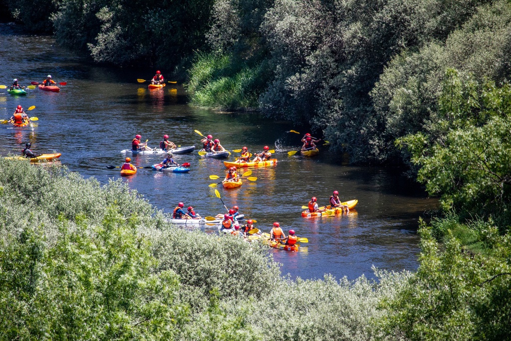
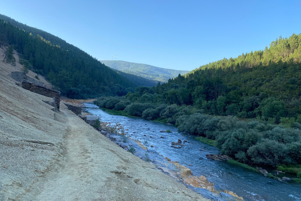
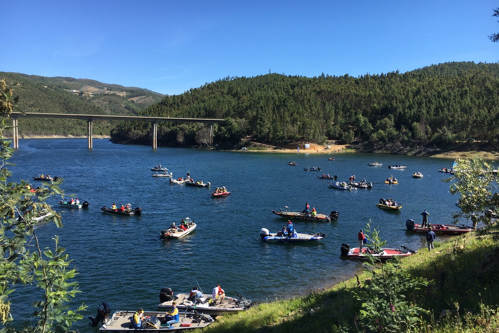
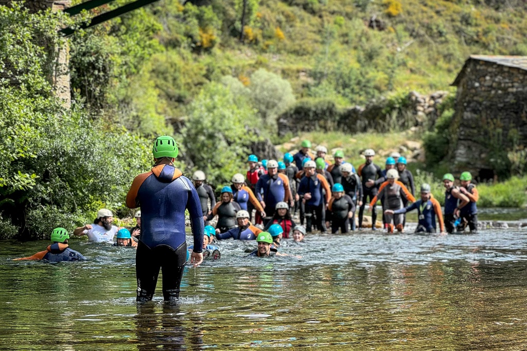
![Mining Territory [GR33 - GRZ: Canoeing]](/media/filer_public/56/de/56de20f2-4b42-4f2a-85dc-21b8df02f07f/aldeias-xisto-aldeias-xisto-rio_zc3aazere_n2tbi2a.jpg.1024x683_q95_crop_upscale.jpg)