tejo-ocreza
This is the smallest group, but also the most spread out. The proximity to the Alentejo plain can be felt in the landscape.
4 aldeias do xisto
3 local authorities
1 geopark
open map
plan visit bookinxisto
Region
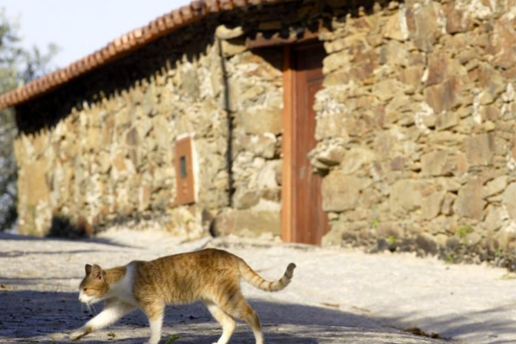
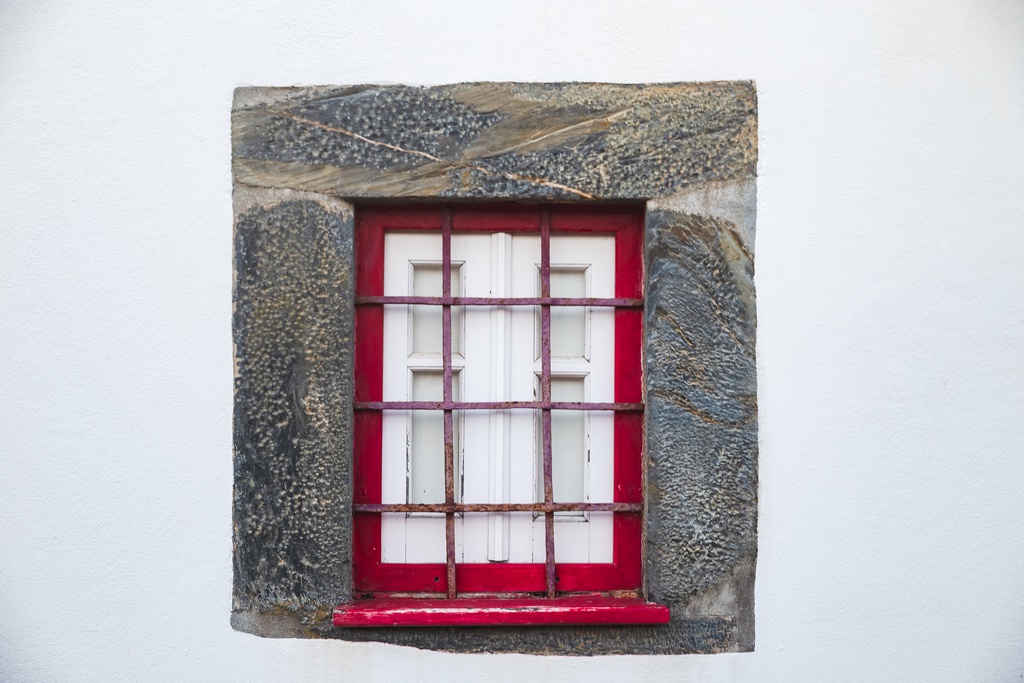
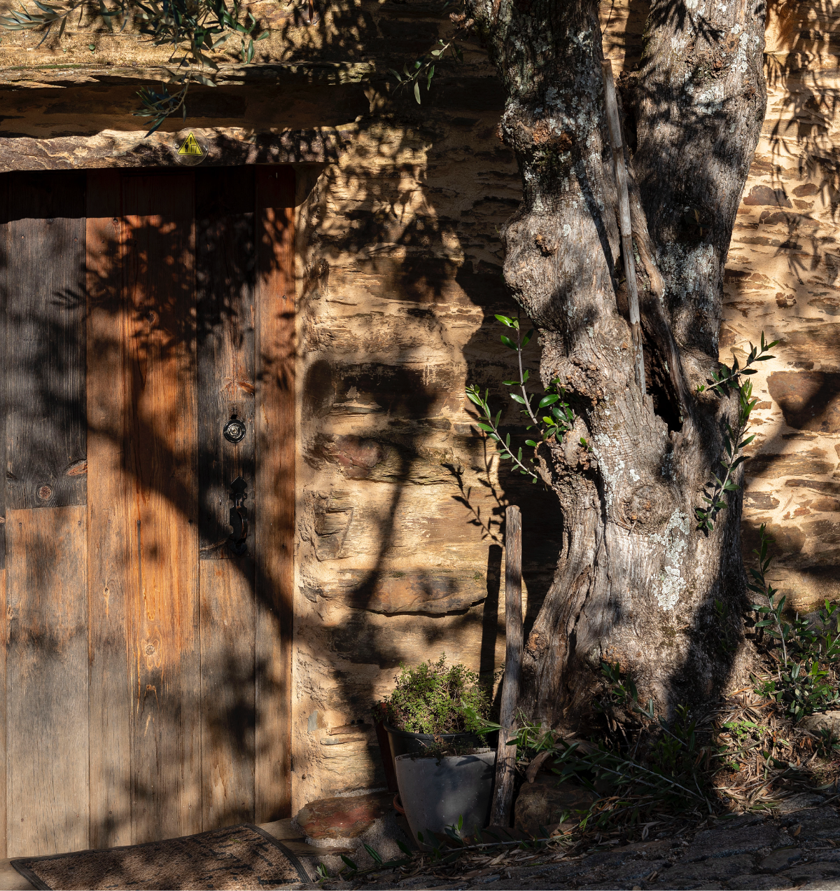
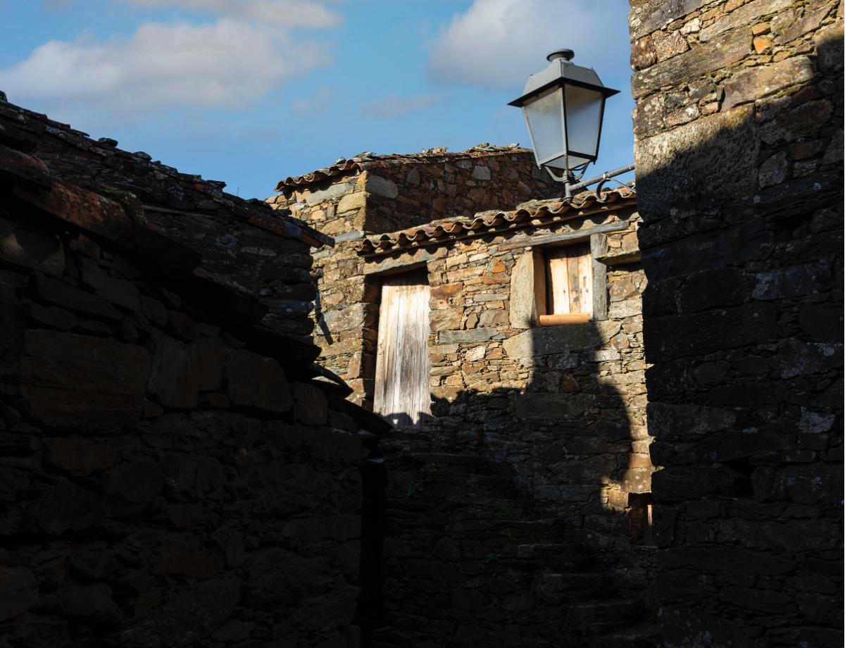
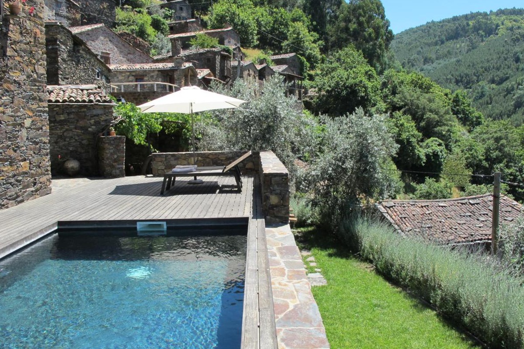
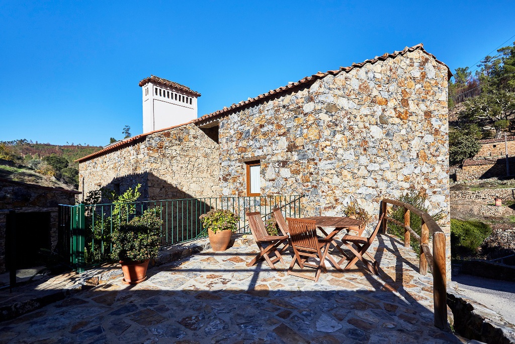
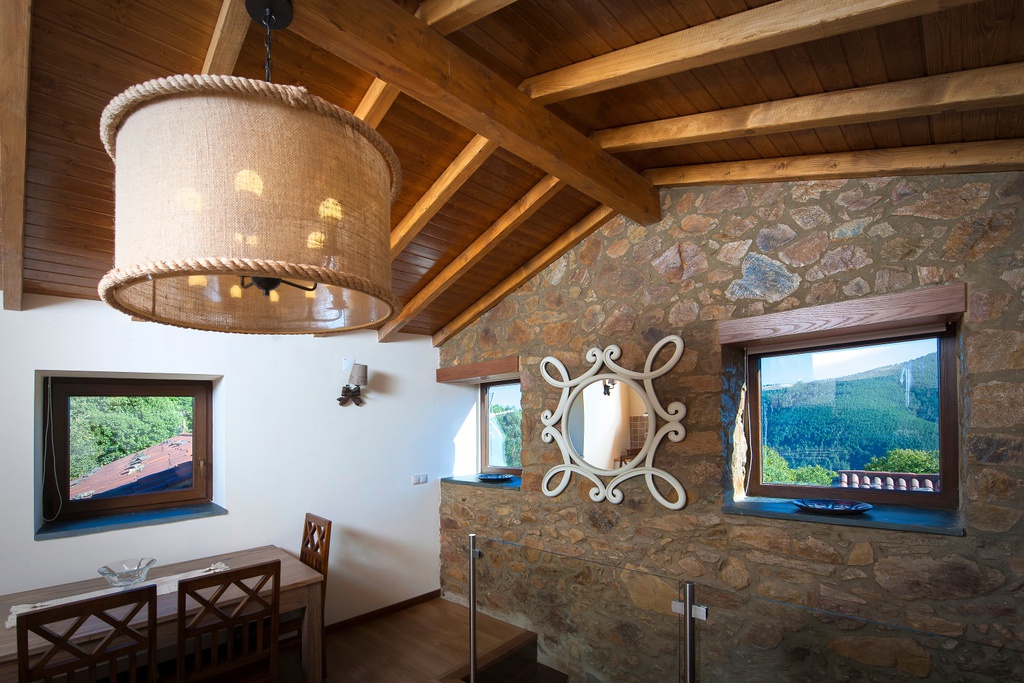
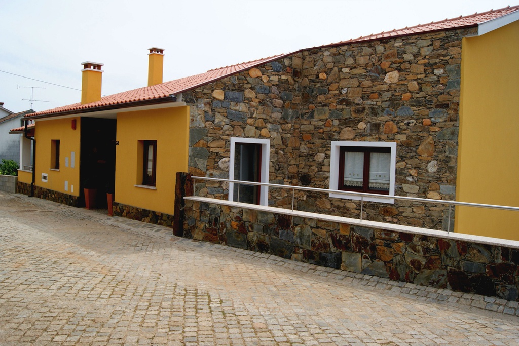
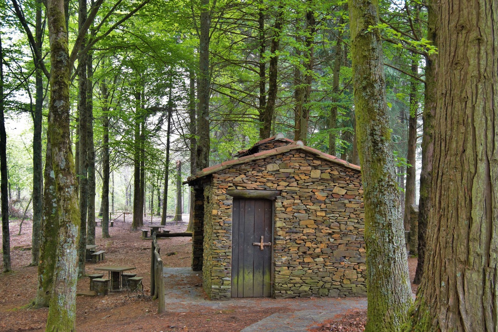
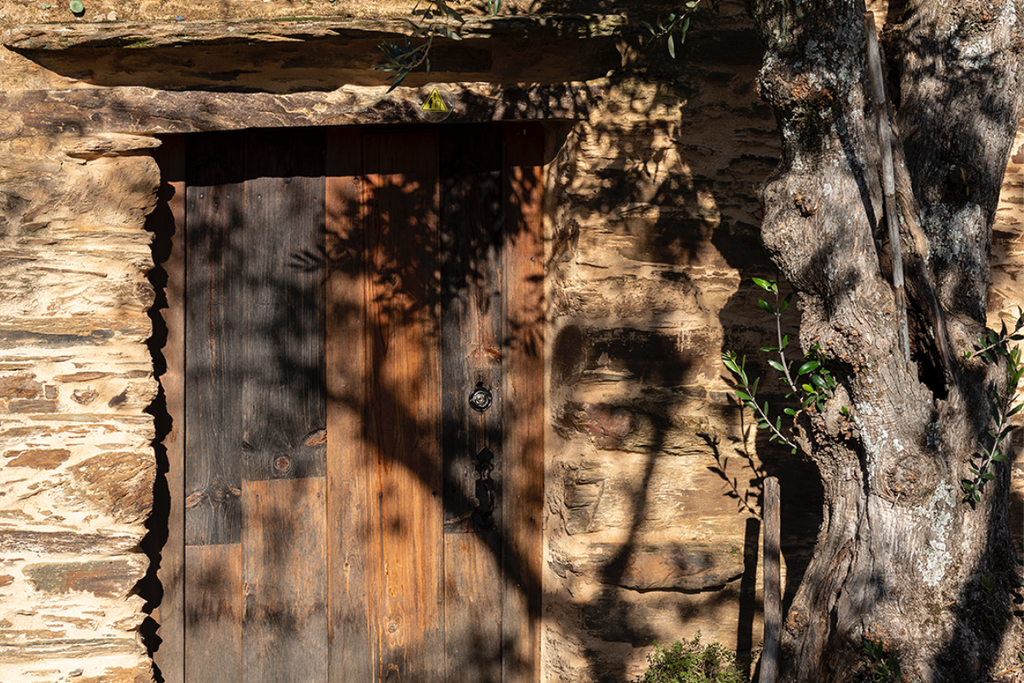
The Tejo-Ocreza territorial unit is made up of four villages: Água Formosa, Figueira, Martim Branco and Sarzedas. The latter is the only Aldeia do Xisto attached to a noble title. It has the smallest number of villages but covers the most territory and has the greatest mix of building materials, showing early signs of the landscape transition between the Iberian plateau and the southern lowlands. In Água Formosa, despite the abundance of shale, the predominant building material is quartzite, however in Sarzedas, underneath the painted plasters and beautifully designed houses of grandiose volumes, which deep ties to history, schist and rammed earth are the most common. As in Martim Branco, which still includes pebbles from the stream in the masonry structures. In Figueira there is a building technique that distinguishes it from the other schist villages: many door jambs are irregular and, in some walls, we can see an atypical practice of laying the schist vertically. The back gardens are delimited by slabs of schist stuck vertically into the ground.
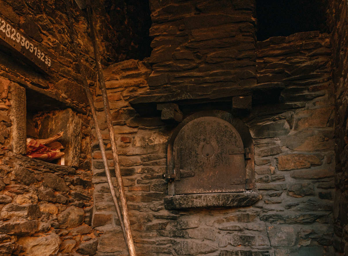
Rural charm
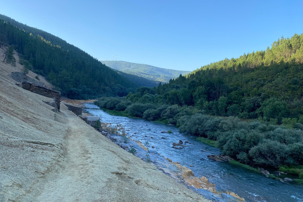
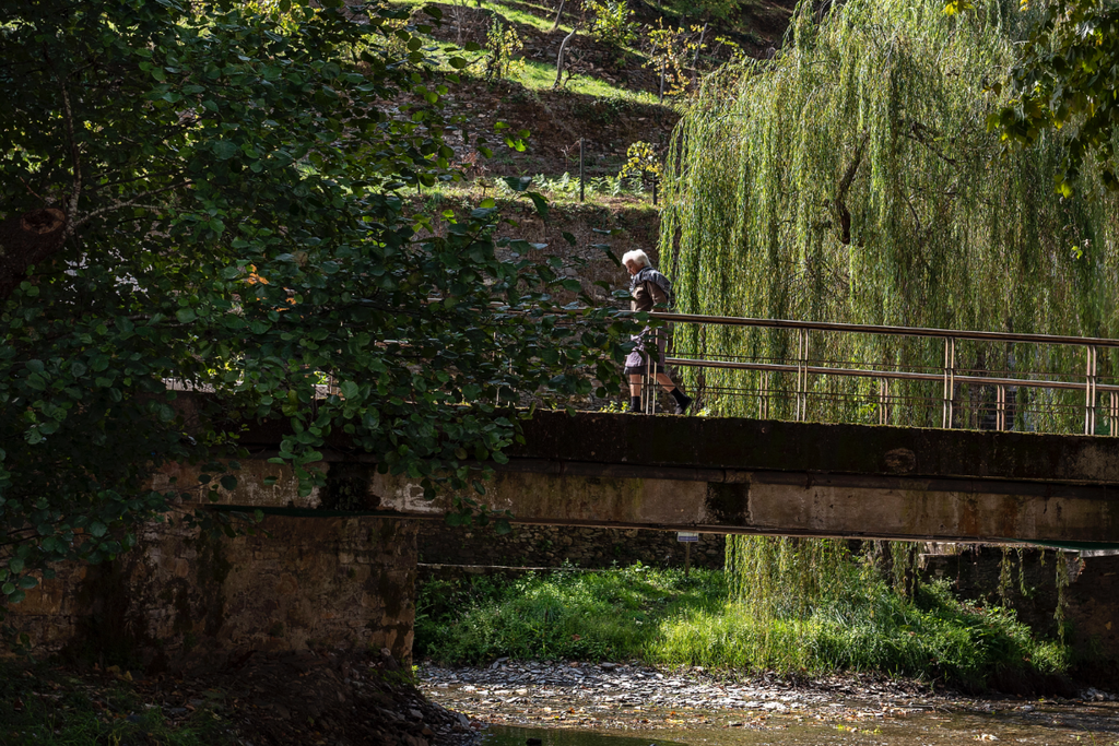
In these four villages you can still experience truly rural life. We are welcomed by the quietness, interspersed with the sound of water trickling over the stones of the stream beds. The wood-fired ovens still exude the warm aroma of freshly baked bread and evidence of farm animals can be found all over. In the surroundings, the well-kept vegetable gardens and the tilled farmland still attest to the presence of traditional know-how.
Geography
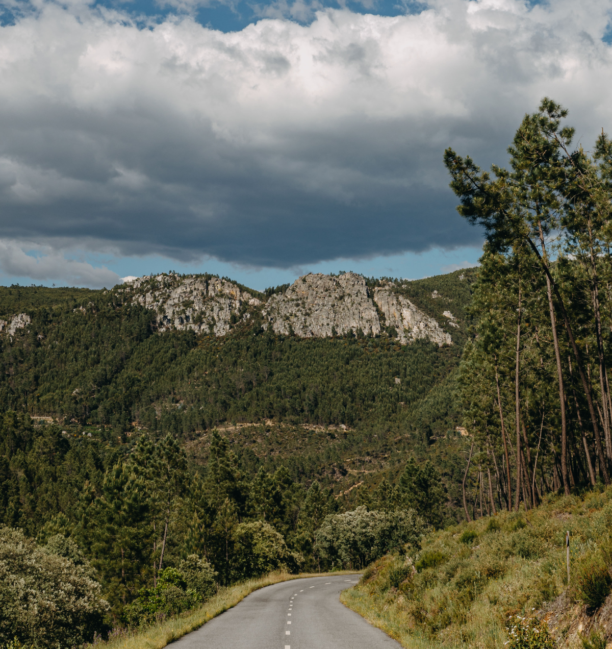
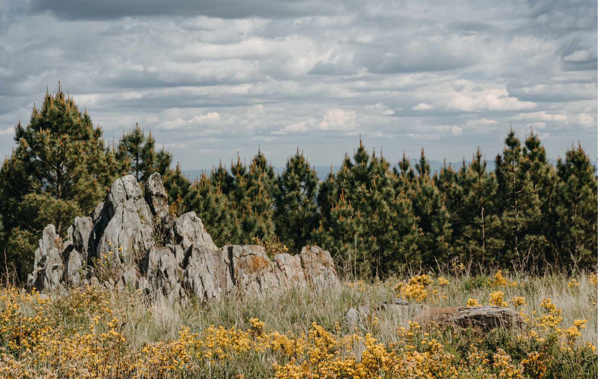
Here the Atlantic influence begins to wane to the Mediterranean climate. It is also here that the mountainous formations lose their majesty and give way to the planes, reminding us that the Alentejo is right next door. In a land of varied topography, high, low, narrow, wide, rounded, sharp, it is this kind of landscape, now wild now gentle, now barren, now wooded, which defines the Tejo-Ocreza region.
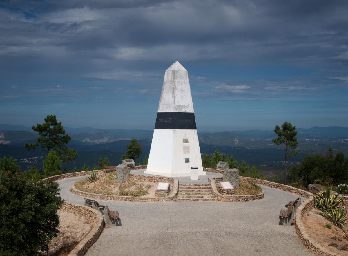
Portugal’s Geodetic Centre
It is in the territory of the Aldeias do Xisto, more specifically in the municipality of Vila de Rei, that we find the central point of the Portuguese mainland. It also has a museum space, a picnic area and a viewpoint.
Geopark Naturtejo
The Geopark Naturtejo of the Meridional Meseta was the first Portuguese geopark to be integrated in the International Network of UNESCO Geoparks in 2006. It covers 4616 km2, in the municipalities of Castelo Branco, Idanha-a-Nova, Proença-a-Nova, Nisa, Oleiros and Vila Velha de Ródão.
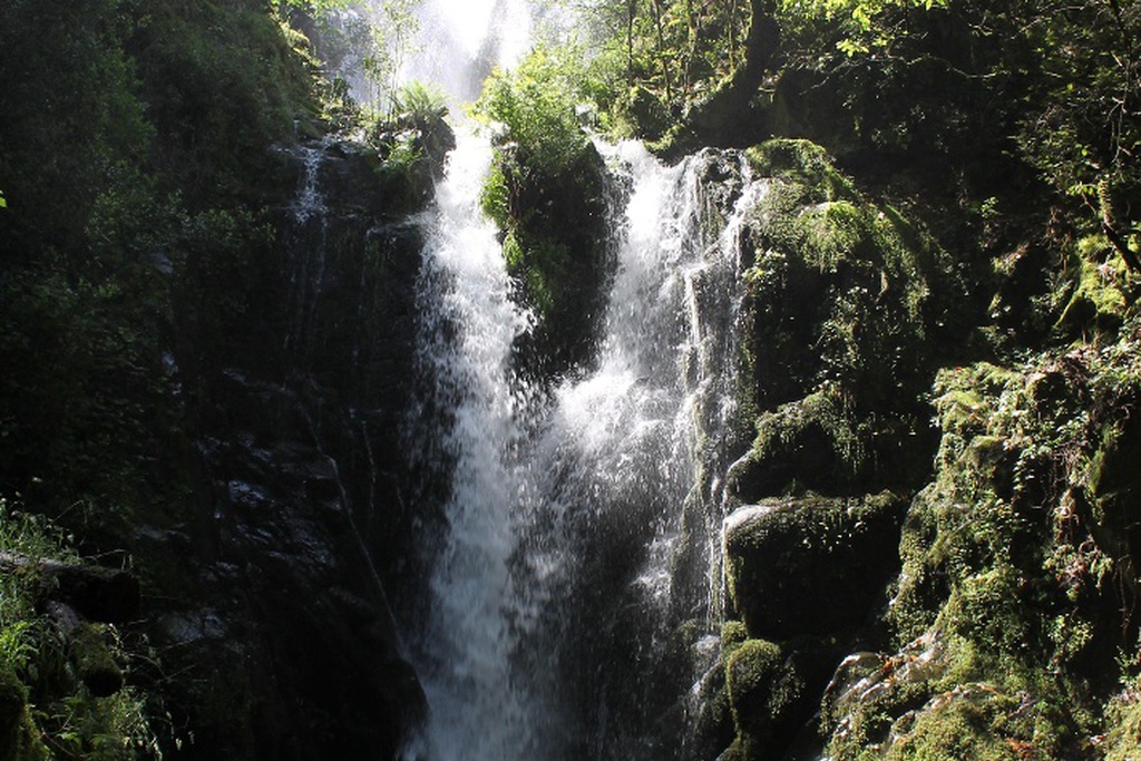
There are four geological monuments within the Aldeias do Xisto region:

















![GRZ on Foot - Return to Serenity [sector 7]](/media/filer_public/c7/17/c7175490-d567-41d0-b758-9303411dcd97/aldeias-xisto-aldeias-xisto-o_regresso_da_serenidade_foz_de_alge__c381rea_de_descanso_de_valbom_gr33_-_g_cyecqfl.jpg.1024x683_q95_crop_upscale.jpg)
